On the afternoon of May 19th, the research symposium of Tianjin Institute of Surveying and Mapping Co., Ltd. was held in the conference room 318. Sheng Zhongjie, general manager of Tianjin Institute of Surveying and mapping Co., Ltd., Wang Wei, director of the general manager's office of Tianjin Institute of Surveying and mapping Co., Ltd., Liu Zixiao, director of the Third Monitoring Department of National Conditions Institute, Tian Yingjie, deputy director of the Second Monitoring Department of National conditions Institute, Yan Wei, senior engineer of the third Institute of Surveying and mapping, Zhao Jianjun, deputy director of the State Key Laboratory of Geohazard Prevention and Geoenvironment Protection, Wang Dongpo, Dai Keren, Dong Xiujun, Xie Mingli and other laboratory fixed researchers attended the meeting. Zhao Jianjun presided the meeting. On behalf of the laboratory, Zhao Jianjun welcomed the staff of Tianjin Institute of Surveying and mapping Co., Ltd and gave a detailed introduction on the basic situation of the laboratory, the scale of equipment, the allocation of researchers, and the development and direction of the work carried out in recent years.
Sheng Zhongjie talked about the original intention and purpose of this survey and discussion. Firstly, to seek new possibilities of technological innovation and business expansion in the process of transformation from traditional surveying and mapping to surveying and mapping information; Secondly, to exchange on the new requirements and assessment objectives put forward by the government for land subsidence related projects in North China; Thirdly, to discuss the urgent need to improve the monitoring frequency of geological hazards; Fourth, to further strengthen the study and cooperation of InSAR technology. He hoped that through this symposium, the two sides can further promote the common expectation of mutual exchange and deepen cooperation.
At the symposium, Dong Xiujun, senior experimenter of our office, introduced the research of airborne LiDAR remote sensing application technology for geological hazards in mountainous areas; Professor Dai Keren introduced InSAR and other technologies for early identification and key monitoring of geological hazards; Focusing on the key technologies of geological hazard monitoring and early warning, Dr. Xie Mingli explained the technological process, technology and methods, successful early warning cases and other contents of geological hazard monitoring and early warning.
Zhao Jianjun said that the laboratory staff will take this exchange symposium as a starting point to further strengthen the cooperation between the university and enterprises, to give full play to the special advantages of the laboratory in terms of expertise and talents, and to better realize serving the society with knowledge. He said that this research symposium has greatly enhanced the mutual understanding and trust between the two sides, laid the foundation for us to carry out in-depth cooperation and exchange in the future, and created conditions for achieving high-quality development in the future.
After the symposium, the staff of Tianjin Institute of Surveying and mapping Co., Ltd. visited the State Key Laboratory of Geohazard Prevention and Geoenvironment Protection.
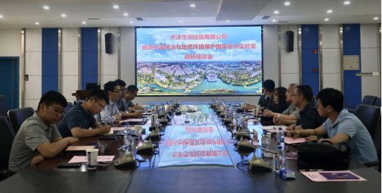
Symposium Scene
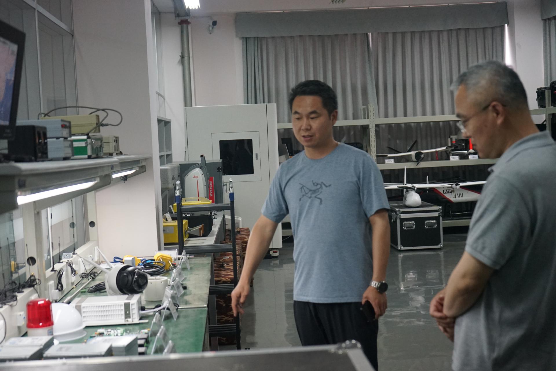
Visiting Scene